Being closer to nature is a wonderful desire, because in this way we begin to understand the fluidity and aesthetics of the surrounding world, its problems. It is important to conduct activities involving the help of https://qualitycustomessays.com to promote helping nature as much as possible.
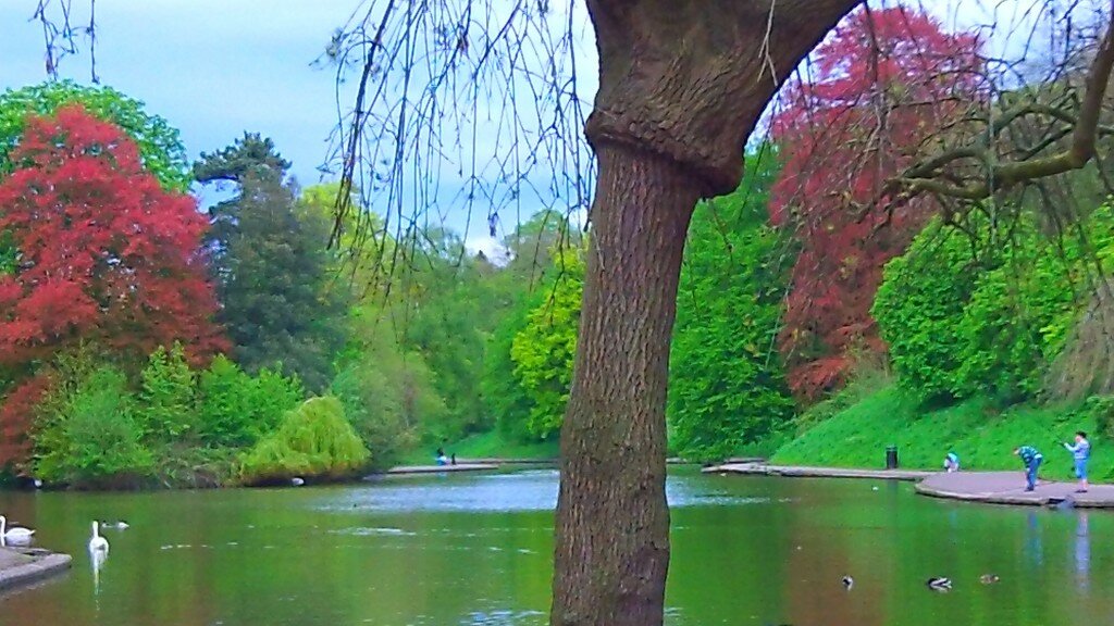
Taking a visual tour of the section of the Frome selected for this project, our journey begins just beyond the lake in Eastville Park where the river’s sinuous curve is echoed in the shape of the lake along its northern flank. In high water, the flooding river and lake sometimes merge and have even frozen together like this in winter.
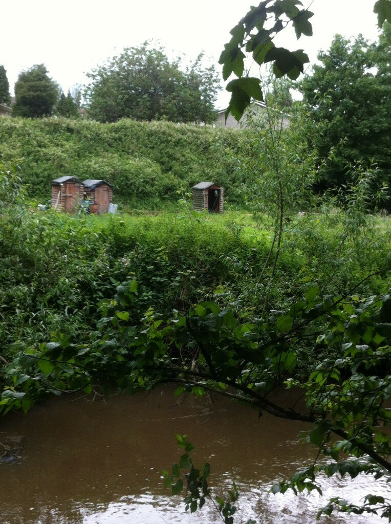
On the opposite bank are the Colston’s School playing fields and, just downstream, the Colston’s Field allotments.
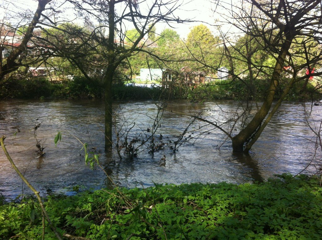
Located on the floodplain, they are seasonally inundated by the river (even in May 2012 below, the water is nearly up to the top of the bank!), but while there are stories of floating sheds and polytunnels, the water also brings valuable nutrients and silt, so it’s a delicate trade-off.
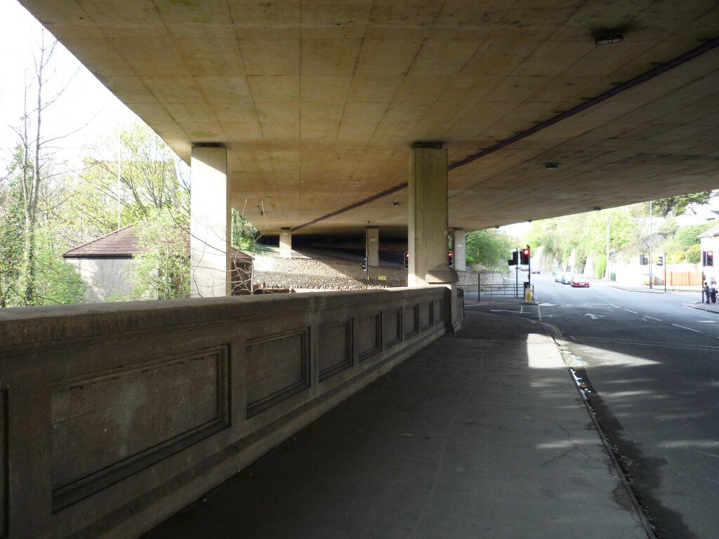
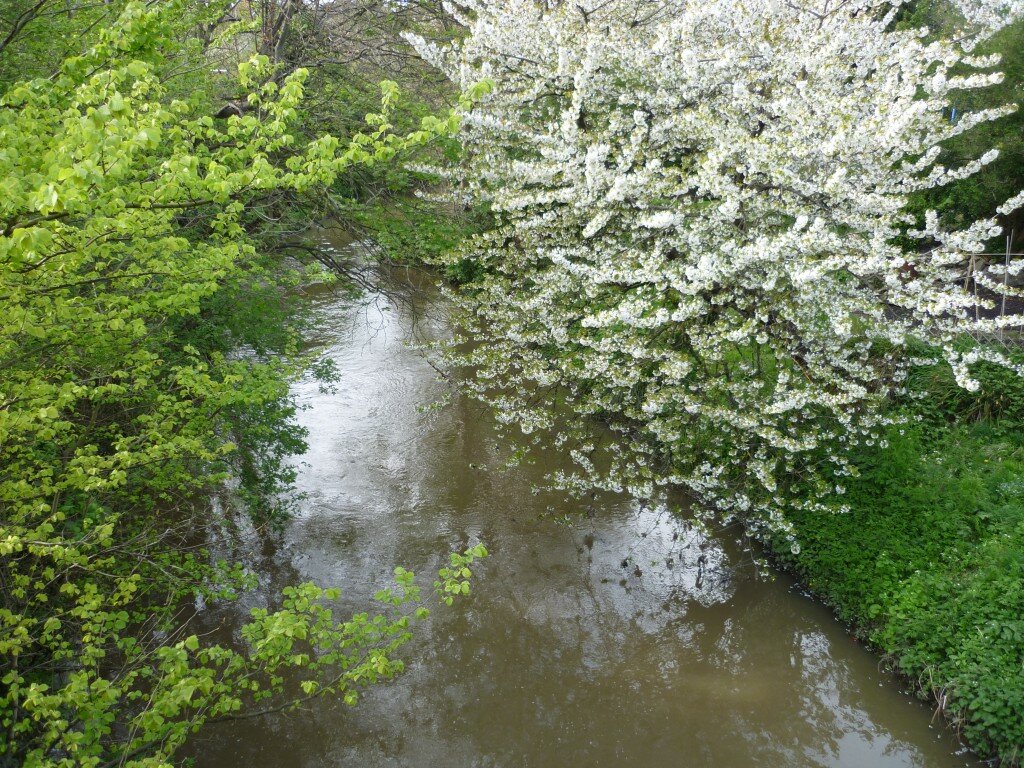
The river emerges from the park at the road bridge by the Merchants Arms where it crossesunder both the B4058 road towards Stapleton and Frenchay and — zooming overhead — the M32. This is the beginning of a river / motorway duet…
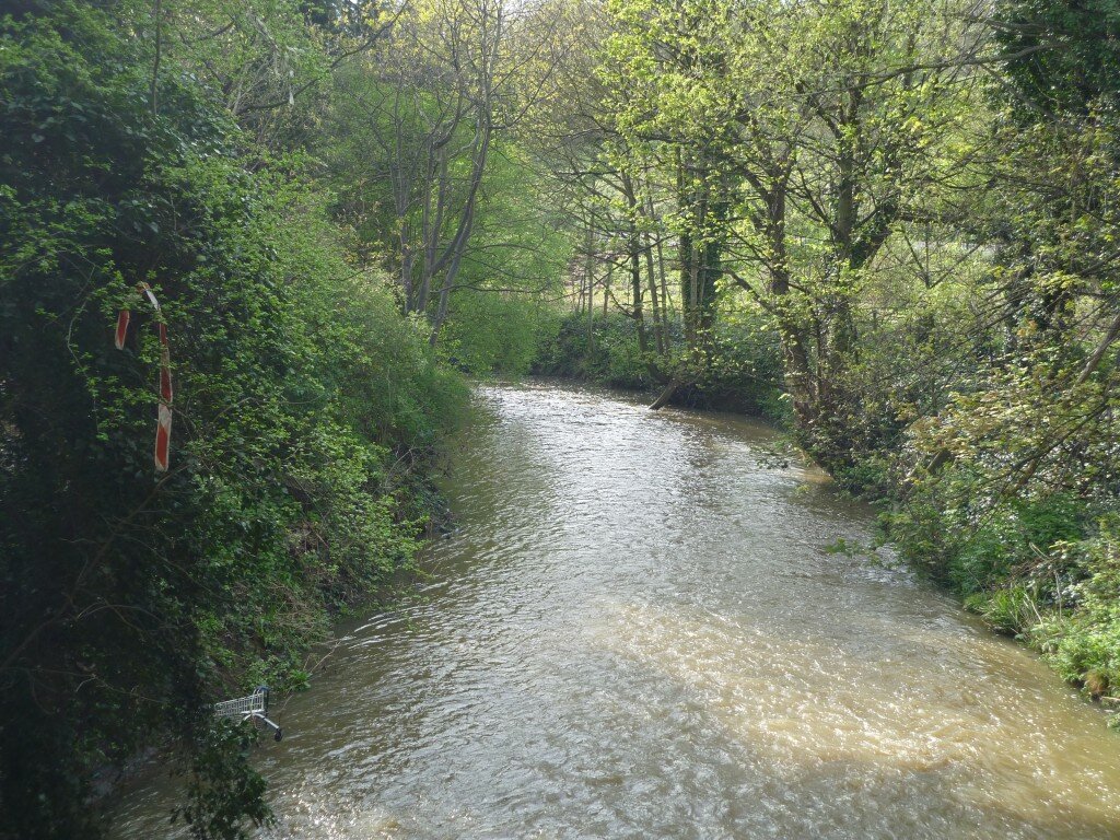
 Looking west from the bridge, the Frome at this point is edged by trees and greenery, almost as if this is woodland or countryside… (but for the giveaway urban trash)
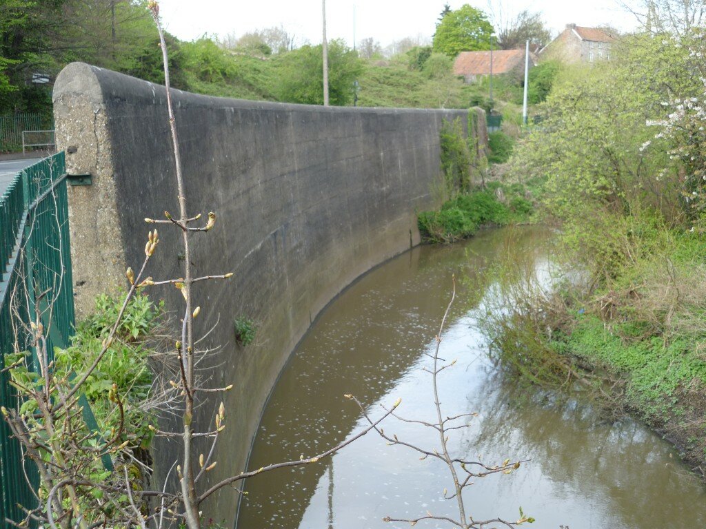
 Just along here, though, the river curves round sharply to the south, hugging Glenfrome Road on the bend. A massive defence wall has been built here to protect the steeply rising land above this curve from being eaten into and eroded by rushing water (though when this picture was taken – before the heavy rains of May – the water was very low). Directly uphill of the bend is Glenfrome Primary School.
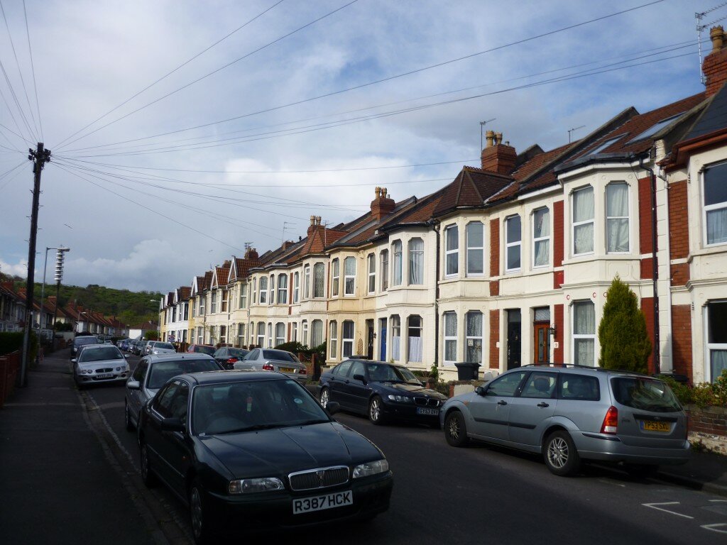
 As the river heads South, it disappears from public view to run between two residential streets — Heath Road on the West bank and (below) Cottrell Road to the East. Home-owners along the river bank here are riparian owners, legally responsible for the condition of their half of the section of river that runs past their property.
 Heath and Cottrell both end at Muller Road as it cuts through on its way under the M32 (seen on the raised level in the picture below). The river itself runs under the road intersection where the green lights show here, but you have to look for it to spot it.
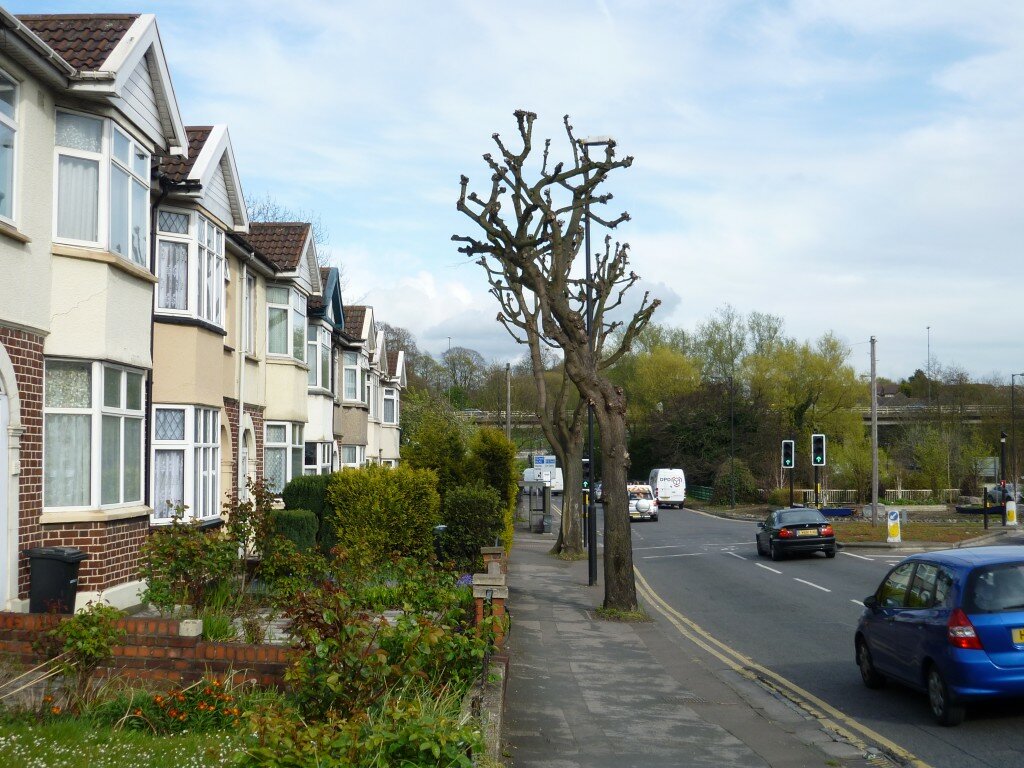 This is the April view of the Frome from that same intersection, looking north up the back of Cottrell Road, but shortly after this blossomy scene the riverscape alters radically…
 Here’s the point (below) where green riverbanks give way to heavy concrete engineering, directly underneath the exit slip road from the M32 (pictured) which carries traffic down to the Tesco roundabout. The supermarket is directly up the bank you see ahead and to the left in this picture.
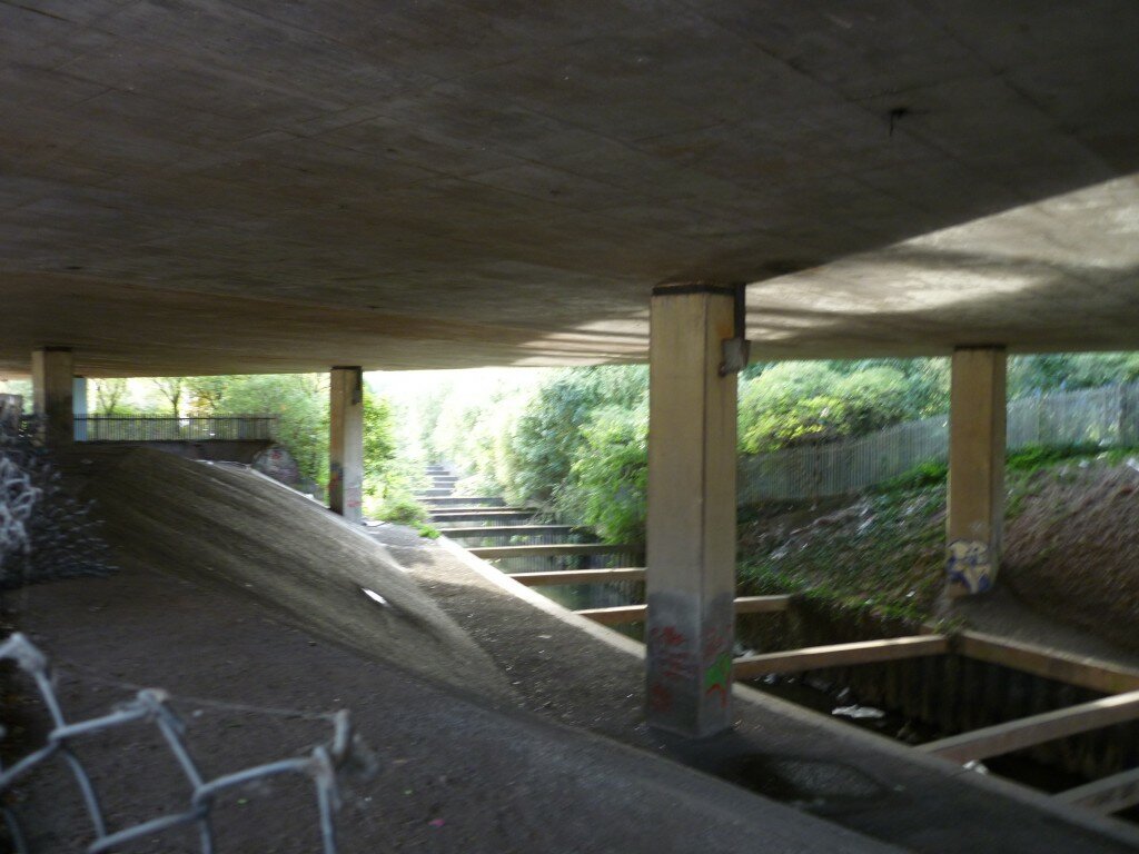
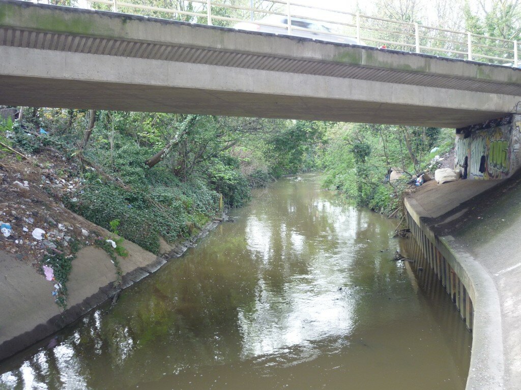 And from here the river moves into a stretch of perfect harmony (?) with the motorway, running along directly underneath it. It’s a kind of urban cathedral here — with the river itself canalised between sheet metal piling and sloping concrete banks, and caged beneath support struts. No danger of erosion here…
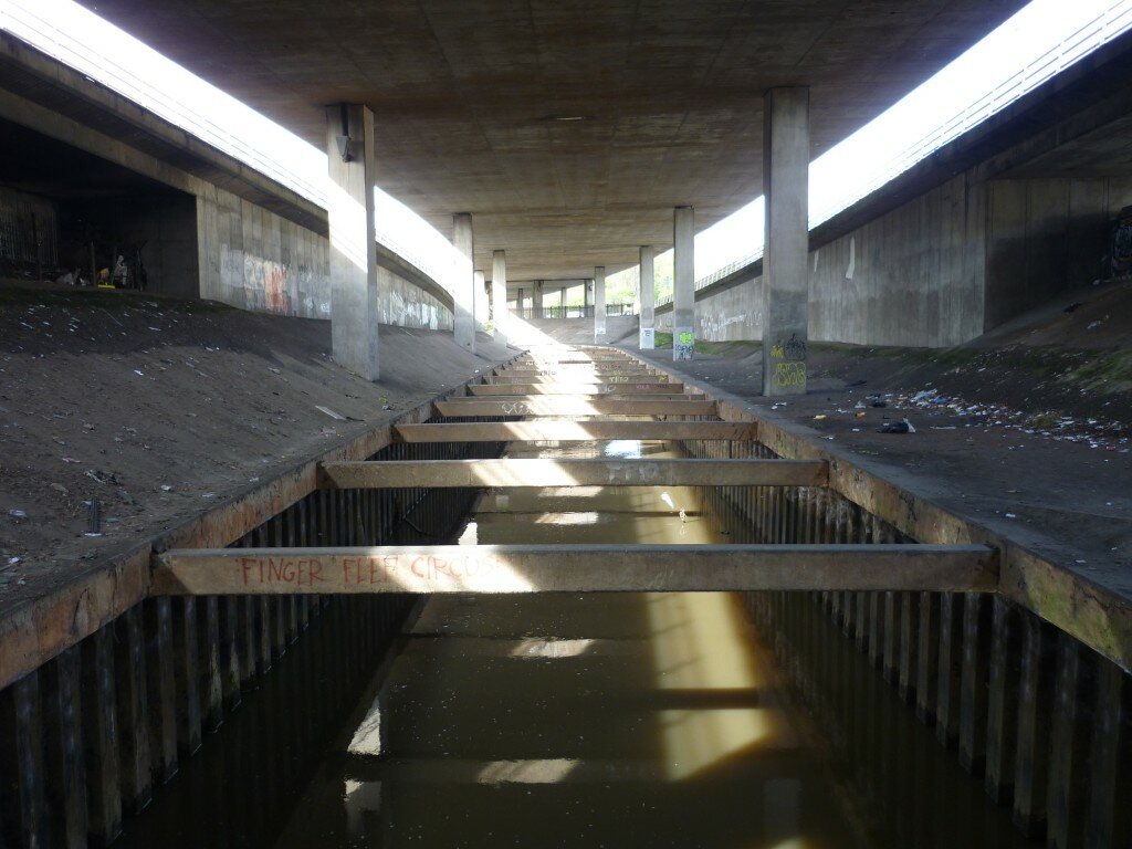 Eventually (below) river and motorway diverge again, as a little greenery reappears on either side of the still-caged-in waterway…
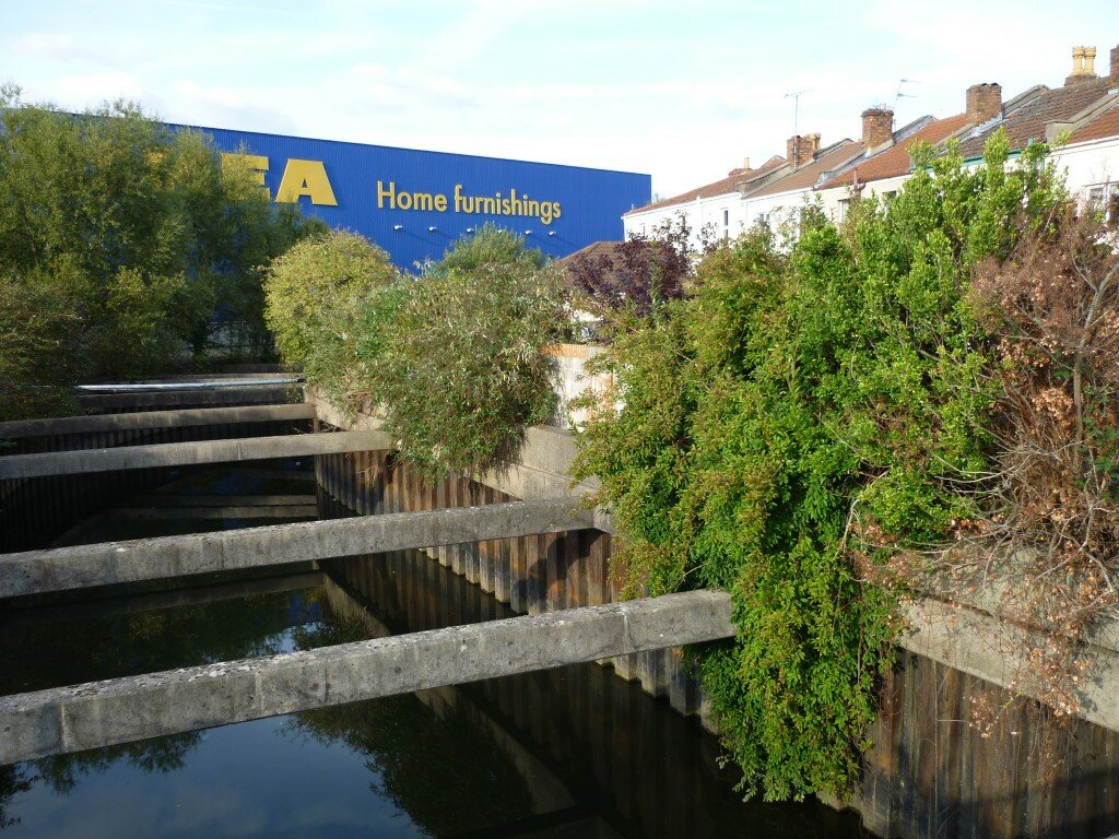
 From here the river runs along between Napier Road (the sole surviving stretch of residential housing to the west of the motorway) and the IKEA superstore, which sits just to the south of Tescos. Here the homes are separated from the river by trees and bushes, as if to hide away the unsightly view of iron and concrete.
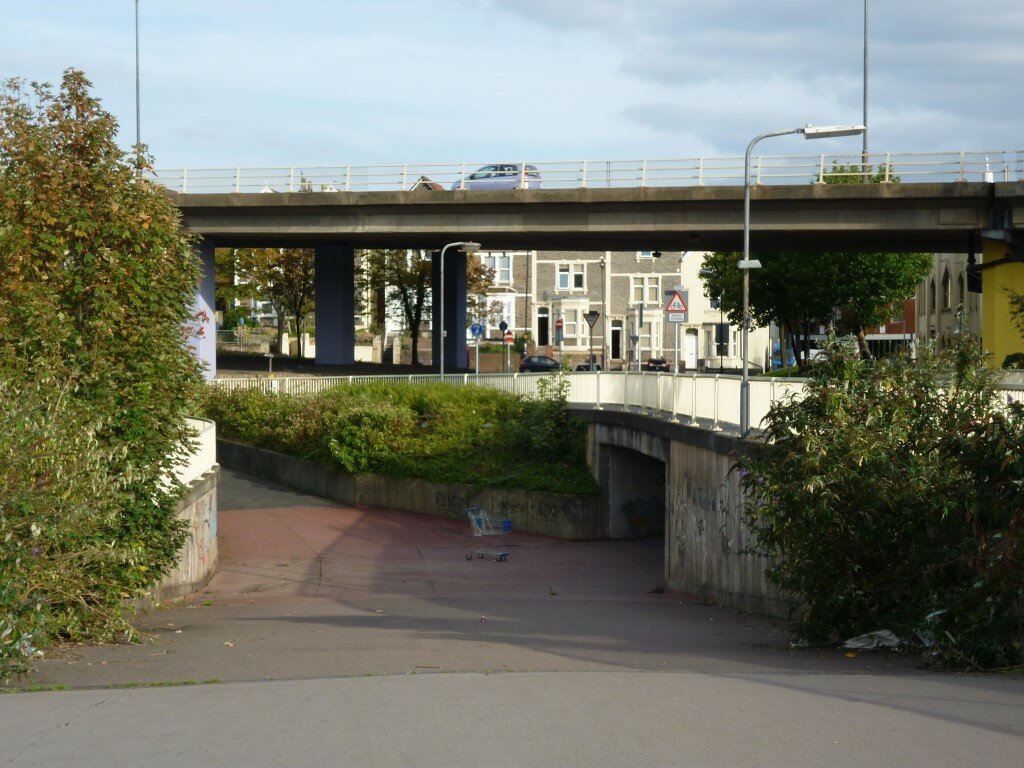
 We then hit a rather non-descript patch of concrete crossings and underpasses (again overlooked by the motorway), which separate the houses and superstores and – just visible on the right in this picture – the local mosque, from the Environment Agency’s Eastville Sluice Gates…
 The sluices (below) are where the Frome disappears from view, to run into culverts that take it underground as it runs towards the city centre (where it joins the Avon / Floating Harbour). The sluices skim rubbish off the river’s surface, and operate to channel the water: in flood conditions, the overflow is taken off by an ‘Interceptor Tunnel’ which takes it down towards the Avon Gorge, bypassing the city centre.
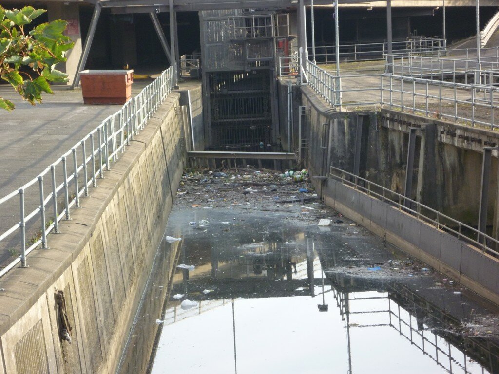 And thus, a stretch of river that begins with trees, swans and kingfishers, ends — perhaps necessarily — with steel and barbed wire.

hiya..I live down Cottrell Road with the river at the bottom of the garden, but folk across the road from me don’t have that privilege..so what’s the point , a two tier street..?? get real .
Thanks for your comment Roy. But can you explain a bit more what you mean about a ‘two-tier street’? Are you saying the people on the other side of the road feel left out, or disadvantaged somehow?
Having lived on Cottrell Rd for 6 years, we have always really enjoyed having the river at the bottom of the garden. Fortunately for us the river is surrounded by greenery and wildlife, and on a couple of occasions we’ve had the local swan family from the park venture up onto our bank and into our garden. I have also found that sitting at the bottom of the garden, listening to the birds and the sound of the river is one of my favourite things, and I can almost forget that I’m in the inner city and can still here the motorway. We’ve also had family members in a rubber dinghy on the water a few summers ago.
I rarely walk around the concrete jungle that surrounds the remainder of the river Frome, it’s quite an upsetting contrast to the pretty river running through the park and my garden. I didn’t even know there were Eastville Sluice Gates!? I’m sure Eastville was a very pretty area before they plonked a great big concrete motorway through it. It would be nice to see the place a little less grey 🙂
Chloe I couldn’t agree more, I would love to see what the river looks like from other riparians gardens you are most welcome to come and sit in our garden and we can compare and contrast 🙂
Please come along and join Jess on 30th June from 12 – 4 where she will be getting creative at our school summer fair at Glenfrome School it should be a lovely day
We had a fantastic meeting of neighbours who are interested in running a street party on Cottrell Rd, available for people from Heath and Stapleton Roads too. The date is Saturday 1st September – just before the kids go back to school. Our next meeting is at Jane’s house, 58 Cottrell Rd at 7pm on Monday 23rd Jully.
We’re looking for ideas for fun games, especially to do with the river for kids and big kids. The more people we can get to input and help out, the less we all have to do.
Please let me know if you’d like to come – we need to make sure there is enough cake… ! text on 07749 657 665 or
If you are specifically interested in the nature side of things with the river, there is a possibility of some funding to get something lovely done. Contact me on the same address to have a little get together about what that might look like too.
Ali (Multi-Story Water team)